Livraison gratuite dès CHF 150
Retour gratuit sous 100 jours
Centre d'aide
  • Livres & Cartes

Livres d'aventure & Cartes

Trier par
Filtrer
322 Résultats
Trier par
Oloron - Sainte-Marie - Carte topographique
IGNOloron - Sainte-Marie - Carte topographiqueCHF 14,00TVA et douane inclus
Comparer
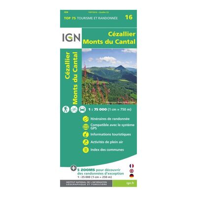
Cézallier / Monts-Du-Cantal - Carte topographique
IGNCézallier / Monts-Du-Cantal - Carte topographiqueCHF 10,00TVA et douane inclus
Comparer
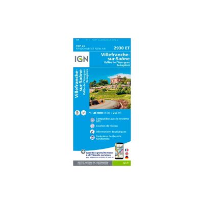
Villefranche-Sur-Saone - Carte topographique
IGNVillefranche-Sur-Saone - Carte topographiqueCHF 14,00TVA et douane inclus
Comparer
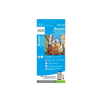
Rouen - Carte topographique
IGNRouen - Carte topographiqueCHF 14,00TVA et douane inclus
Comparer
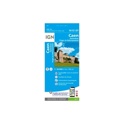
Caen / Ouistreham - Carte topographique
IGNCaen / Ouistreham - Carte topographiqueCHF 14,00TVA et douane inclus
Comparer
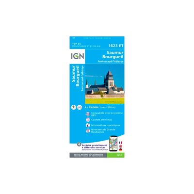
Saumur / Bourgueil / Fontevraud-L'Abbaye - Carte topographique
IGNSaumur / Bourgueil / Fontevraud-L'Abbaye - Carte topographiqueCHF 14,00TVA et douane inclus
Comparer
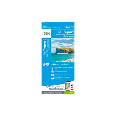
Le Tréport.St-Valery-Sur-Somme.Baie De Somme - Carte topographique
IGNLe Tréport.St-Valery-Sur-Somme.Baie De Somme - Carte topographiqueCHF 14,00TVA et douane inclus
Comparer
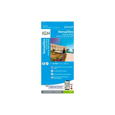
Versailles / Forêts De Marly Et De St-Germain - Carte topographique
IGNVersailles / Forêts De Marly Et De St-Germain - Carte topographiqueCHF 13,90TVA et douane inclus
Comparer
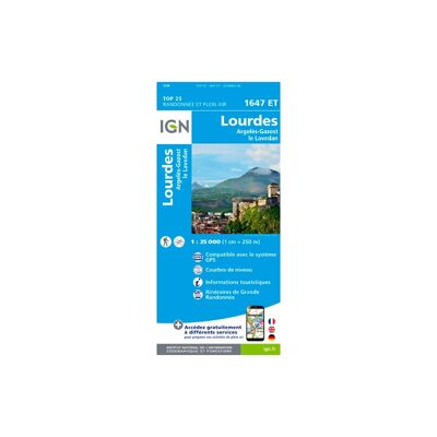
Lourdes / Argelès-Gazost - Carte topographique
IGNLourdes / Argelès-Gazost - Carte topographiqueCHF 14,00TVA et douane inclus
Comparer
Le Havre / Étretat / Pnr Des Boucles De La Seine Normande - Carte topographique
IGNLe Havre / Étretat / Pnr Des Boucles De La Seine Normande - Carte topographiqueCHF 19,90TVA et douane inclus
Comparer
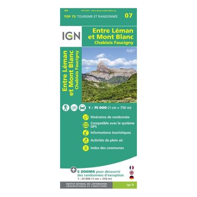
Entre Léman Et Mont-Blanc - Carte topographique
IGNEntre Léman Et Mont-Blanc - Carte topographiqueCHF 10,00TVA et douane inclus
Comparer
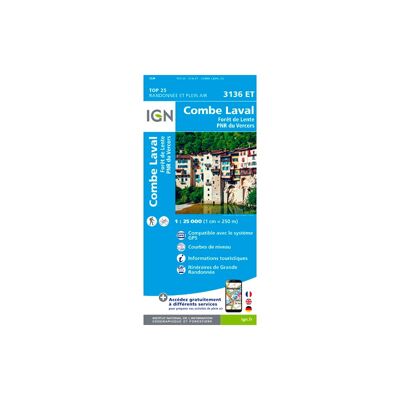
Combe Laval - Forêt De Lente / Pnr Du Vercors - Carte topographique
IGNCombe Laval - Forêt De Lente / Pnr Du Vercors - Carte topographiqueCHF 14,00TVA et douane inclus
Comparer
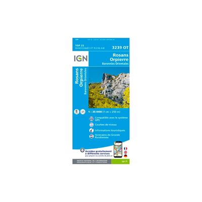
Rosans / Orpierre / Baronnies Orientales - Carte topographique
IGNRosans / Orpierre / Baronnies Orientales - Carte topographiqueCHF 13,90TVA et douane inclus
Comparer
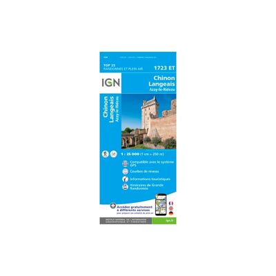
Chinon / Langeais / Azay Le Rideau - Carte topographique
IGNChinon / Langeais / Azay Le Rideau - Carte topographiqueCHF 14,00TVA et douane inclus
Comparer
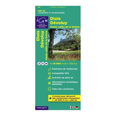
Diois / Devoluy / Hautevallée De La Drome - Carte topographique
IGNDiois / Devoluy / Hautevallée De La Drome - Carte topographiqueCHF 10,00TVA et douane inclus
Comparer
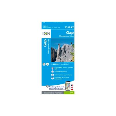
Gap.Montagne De Céüse - Carte topographique
IGNGap.Montagne De Céüse - Carte topographiqueCHF 13,90TVA et douane inclus
Comparer
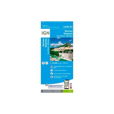
Serres / Veynes / Haut Buëch / Bochaine - Carte topographique
IGNSerres / Veynes / Haut Buëch / Bochaine - Carte topographiqueCHF 14,00TVA et douane inclus
Comparer
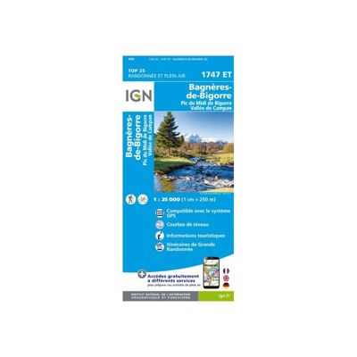
Bagnères De Bigorre - Carte topographique
IGNBagnères De Bigorre - Carte topographiqueCHF 19,90TVA et douane inclus
Comparer
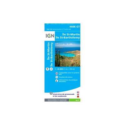
Ile Saint-Martin / Ile Saint-Barthelemy(Guadeloupe) - Carte topographique
IGNIle Saint-Martin / Ile Saint-Barthelemy(Guadeloupe) - Carte topographiqueCHF 14,00TVA et douane inclus
Comparer
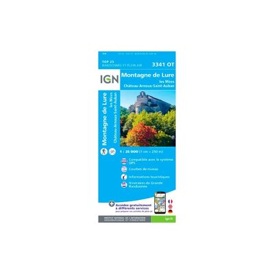
Montagne De Lure.Les Mées.Château-Arnoux - Carte topographique
IGNMontagne De Lure.Les Mées.Château-Arnoux - Carte topographiqueCHF 13,90TVA et douane inclus
Comparer
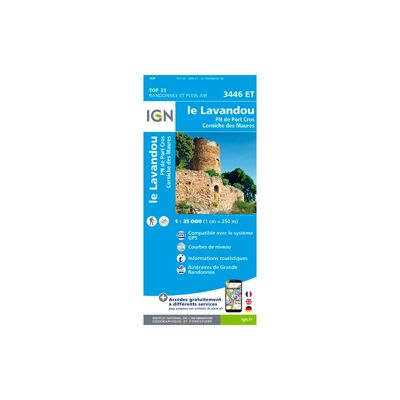
Le Lavandou / Pn De Port Cros / Corniche Des Maures - Carte topographique
IGNLe Lavandou / Pn De Port Cros / Corniche Des Maures - Carte topographiqueCHF 14,00TVA et douane inclus
Comparer
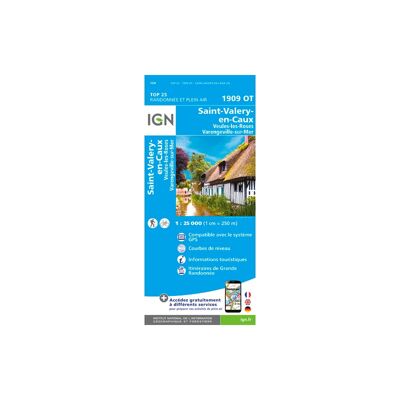
Saint Valéry En Caux - Carte topographique
IGNSaint Valéry En Caux - Carte topographiqueCHF 14,00TVA et douane inclus
Comparer
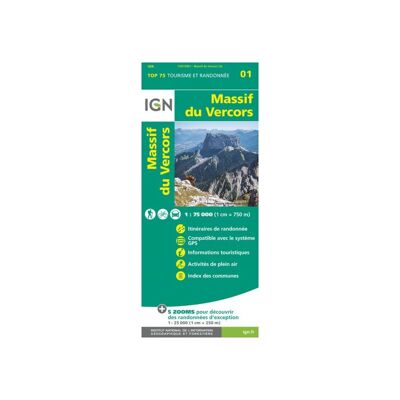
Massif Du Vercors - Carte topographique
IGNMassif Du Vercors - Carte topographiqueCHF 11,00TVA et douane inclus
Comparer
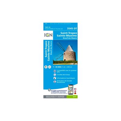
Saint-Tropez.Sainte-Maxime.Massif Des Maures - Carte topographique
IGNSaint-Tropez.Sainte-Maxime.Massif Des Maures - Carte topographiqueCHF 14,00TVA et douane inclus
Comparer
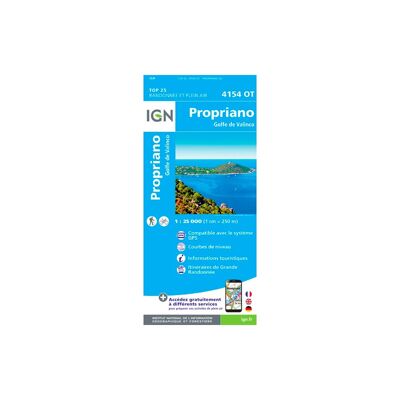
Propriano.Golfe De Valinco - Carte topographique
IGNPropriano.Golfe De Valinco - Carte topographiqueCHF 13,90TVA et douane inclus
Comparer
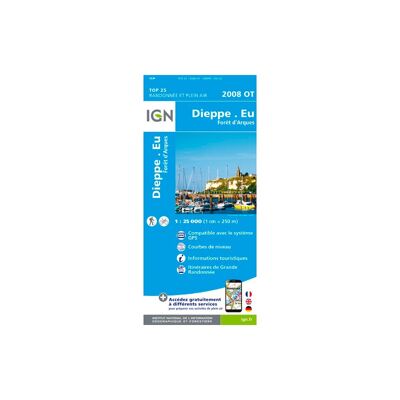
Dieppe-Eu-Forêt D'Arques - Carte topographique
IGNDieppe-Eu-Forêt D'Arques - Carte topographiqueCHF 14,00TVA et douane inclus
Comparer
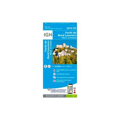
Forêt De Bord - Louviers - Carte topographique
IGNForêt De Bord - Louviers - Carte topographiqueCHF 14,00TVA et douane inclus
Comparer
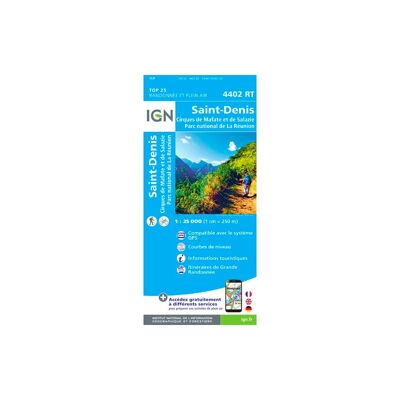
Saint-Denis (Réunion) - Carte topographique
IGNSaint-Denis (Réunion) - Carte topographiqueCHF 13,90TVA et douane inclus
Comparer
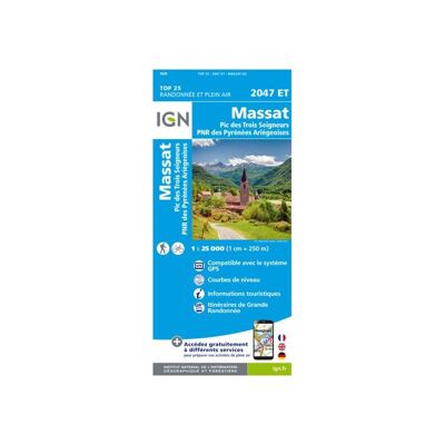
La Bastide De Serou / Massat.Pic Des Trois Seigneurs.Pnr Des Pyrénées-Ariégeoises - Carte topographique
IGNLa Bastide De Serou / Massat.Pic Des Trois Seigneurs.Pnr Des Pyrénées-Ariégeoises - Carte topographiqueCHF 19,90TVA et douane inclus
Comparer
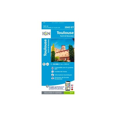
Toulouse / Forêt De Bouconne - Carte topographique
IGNToulouse / Forêt De Bouconne - Carte topographiqueCHF 14,00TVA et douane inclus
Comparer
Pointre-À-Pitre - Grande Terre - Carte topographique
IGNPointre-À-Pitre - Grande Terre - Carte topographiqueCHF 14,00TVA et douane inclus
Comparer
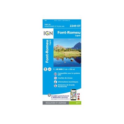
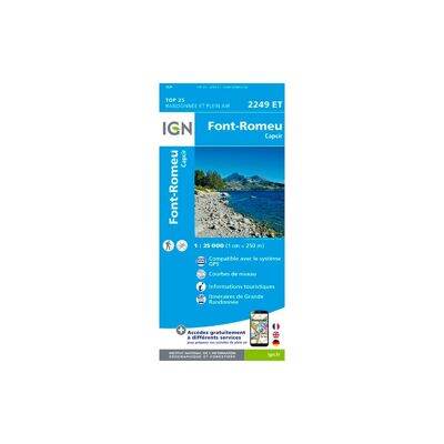
Font - Romeu. Capcir - Carte topographique
IGNFont - Romeu. Capcir - Carte topographiqueCHF 19,90TVA et douane inclus
Comparer
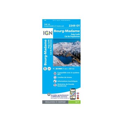
Bourg-Madame.Col De Puymorens.Pic Carlit - Carte topographique
IGNBourg-Madame.Col De Puymorens.Pic Carlit - Carte topographiqueCHF 19,90TVA et douane inclus
Comparer
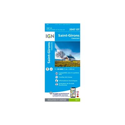
Saint-Girons.Couserans - Carte topographique
IGNSaint-Girons.Couserans - Carte topographiqueCHF 14,00TVA et douane inclus
Comparer
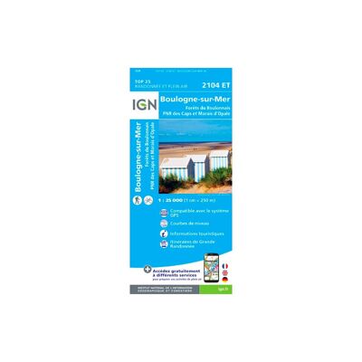
Boulogne-Sur-Mer / Forêts Du Boulonnais / Pnr Des Caps Et Marais D'Opale - Carte topographique
IGNBoulogne-Sur-Mer / Forêts Du Boulonnais / Pnr Des Caps Et Marais D'Opale - Carte topographiqueCHF 14,00TVA et douane inclus
Comparer
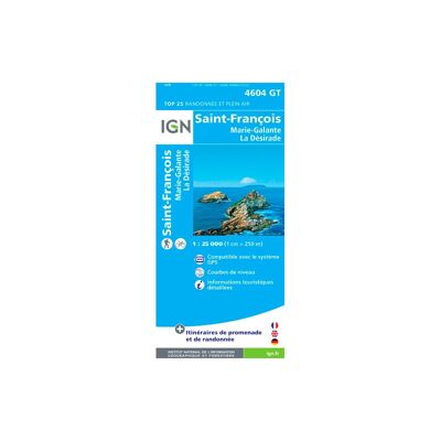
St François - Grande Terre - Marie-Galante - La Désirade - Carte topographique
IGNSt François - Grande Terre - Marie-Galante - La Désirade - Carte topographiqueCHF 14,00TVA et douane inclus
Comparer
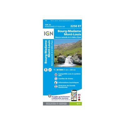
Bourg-Madame.Mont-Louis.Col De La Perche - Carte topographique
IGNBourg-Madame.Mont-Louis.Col De La Perche - Carte topographiqueCHF 19,90TVA et douane inclus
Comparer
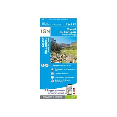
Massif Du Canigou - Carte topographique
IGNMassif Du Canigou - Carte topographiqueCHF 19,90TVA et douane inclus
Comparer
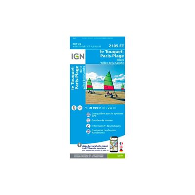
Le Touquet-Paris-Plage.Berck.Vallée De La Canche - Carte topographique
IGNLe Touquet-Paris-Plage.Berck.Vallée De La Canche - Carte topographiqueCHF 14,00TVA et douane inclus
Comparer
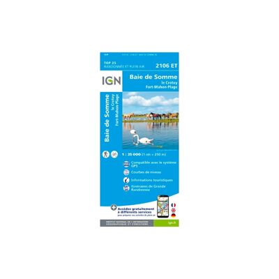
Le Crotoy.Fort-Mahon-Plage.Baie De Somme.Forêt De Crécy - Carte topographique
IGNLe Crotoy.Fort-Mahon-Plage.Baie De Somme.Forêt De Crécy - Carte topographiqueCHF 14,00TVA et douane inclus
Comparer
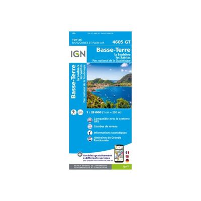
Basse Terre - Soufrière - Les Saintes - Carte topographique
IGNBasse Terre - Soufrière - Les Saintes - Carte topographiqueCHF 19,90TVA et douane inclus
Comparer
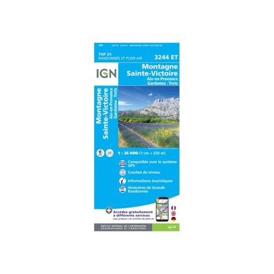
Montagne Sainte-Victoire / Aix En Provence / Gardanne / Trets - Carte topographique
IGNMontagne Sainte-Victoire / Aix En Provence / Gardanne / Trets - Carte topographiqueCHF 19,90TVA et douane inclus
Comparer
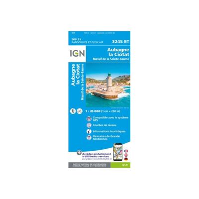
Aubagne / La Ciotat / Massif De La Sainte Baume - Carte topographique
IGNAubagne / La Ciotat / Massif De La Sainte Baume - Carte topographiqueCHF 19,90TVA et douane inclus
Comparer
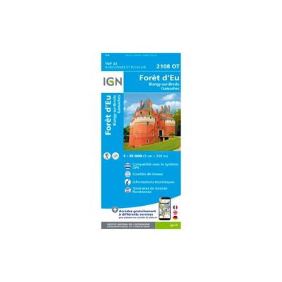
Forêt D'Eu.Blangy-Sur-Bresle.Gamaches - Carte topographique
IGNForêt D'Eu.Blangy-Sur-Bresle.Gamaches - Carte topographiqueCHF 14,00TVA et douane inclus
Comparer
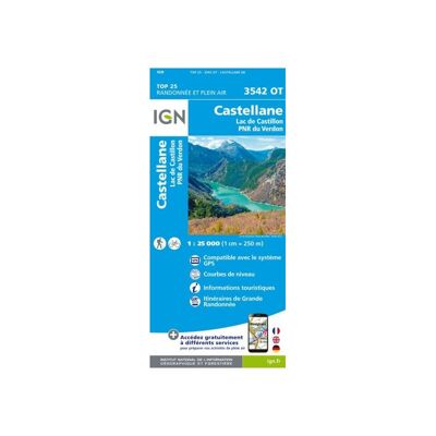
Castellane / Lac De Castillon / Pnr Du Verdon - Carte topographique
IGNCastellane / Lac De Castillon / Pnr Du Verdon - Carte topographiqueCHF 19,90TVA et douane inclus
Comparer
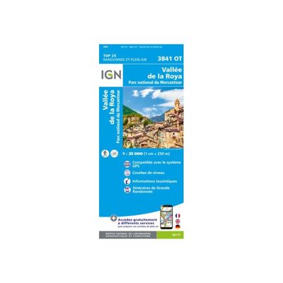
Vallée De La Roya / Vallée Des Merveilles / Pn Du Mercantour - Carte topographique
IGNVallée De La Roya / Vallée Des Merveilles / Pn Du Mercantour - Carte topographiqueCHF 19,90TVA et douane inclus
Comparer
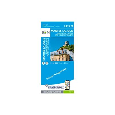
Mantes-La-Jolie / Boucles De La Seine / Pnr Du Vexin Français - Carte topographique
IGNMantes-La-Jolie / Boucles De La Seine / Pnr Du Vexin Français - Carte topographiqueCHF 14,00TVA et douane inclus
Comparer
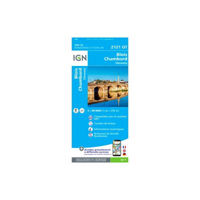
Blois / Chambord / Cheverny - Carte topographique
IGNBlois / Chambord / Cheverny - Carte topographiqueCHF 14,00TVA et douane inclus
Comparer
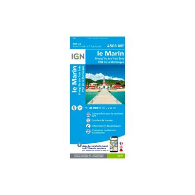
Le Marin.Presqu'Île Des Trois Îlets.Pnr De Martinique - Carte topographique
IGNLe Marin.Presqu'Île Des Trois Îlets.Pnr De Martinique - Carte topographiqueCHF 14,00TVA et douane inclus
Comparer
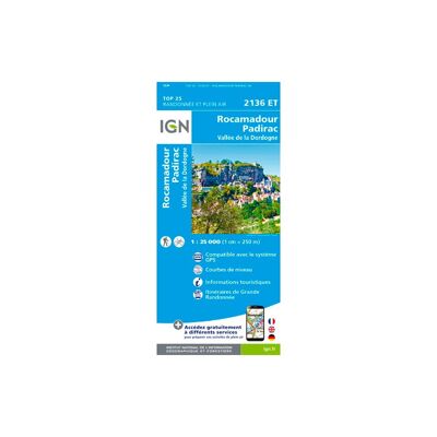
Rocamadour / Padirac - Carte topographique
IGNRocamadour / Padirac - Carte topographiqueCHF 14,00TVA et douane inclus
Comparer
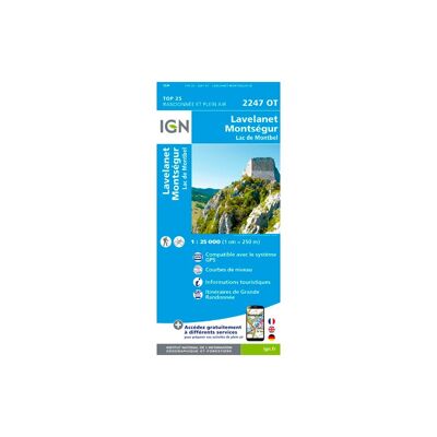
Lavelanet / Montsegur / Lac De Montbel - Carte topographique
IGNLavelanet / Montsegur / Lac De Montbel - Carte topographiqueCHF 14,00TVA et douane inclus
Comparer
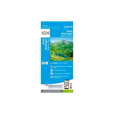
Axat.Quérigut.Gorges De L'Aude - Carte topographique
IGNAxat.Quérigut.Gorges De L'Aude - Carte topographiqueCHF 14,00TVA et douane inclus
Comparer
Font - Romeu. Capcir - Carte topographique
IGNFont - Romeu. Capcir - Carte topographiqueCHF 14,00TVA et douane inclus
Comparer
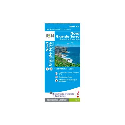
Nord - Grande Terre - Carte topographique
IGNNord - Grande Terre - Carte topographiqueCHF 14,00TVA et douane inclus
Comparer
Bourg-Madame.Mont-Louis.Col De La Perche - Carte topographique
IGNBourg-Madame.Mont-Louis.Col De La Perche - Carte topographiqueCHF 14,00TVA et douane inclus
Comparer
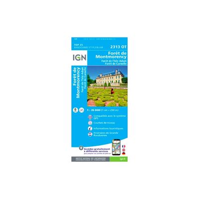
Forêts De Montmorency De L'Isle-Adam Et De Carnelle - Carte topographique
IGNForêts De Montmorency De L'Isle-Adam Et De Carnelle - Carte topographiqueCHF 14,00TVA et douane inclus
Comparer
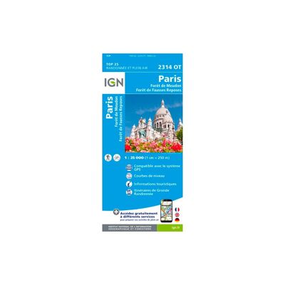
Paris.Forêts De Meudon Et De Fausses Reposes - Carte topographique
IGNParis.Forêts De Meudon Et De Fausses Reposes - Carte topographiqueCHF 14,00TVA et douane inclus
Comparer
Lamentin - Basse Terre - Carte topographique
IGNLamentin - Basse Terre - Carte topographiqueCHF 14,00TVA et douane inclus
Comparer
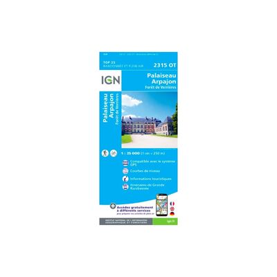
Palaiseau / Arpajon / Frêt De Verrières - Carte topographique
IGNPalaiseau / Arpajon / Frêt De Verrières - Carte topographiqueCHF 14,00TVA et douane inclus
Comparer
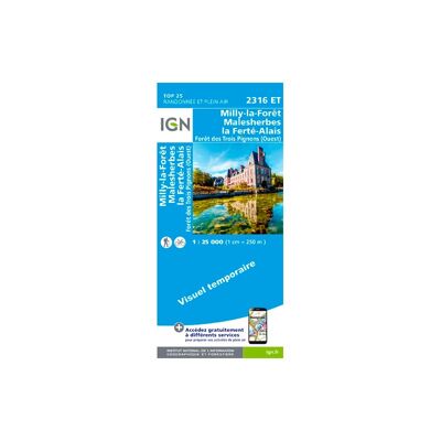
Milly-La-Forêt.Malesherbes.La Ferté-Alais - Carte topographique
IGNMilly-La-Forêt.Malesherbes.La Ferté-Alais - Carte topographiqueCHF 14,00TVA et douane inclus
Comparer
CHF 5CHF 32